| |
| |
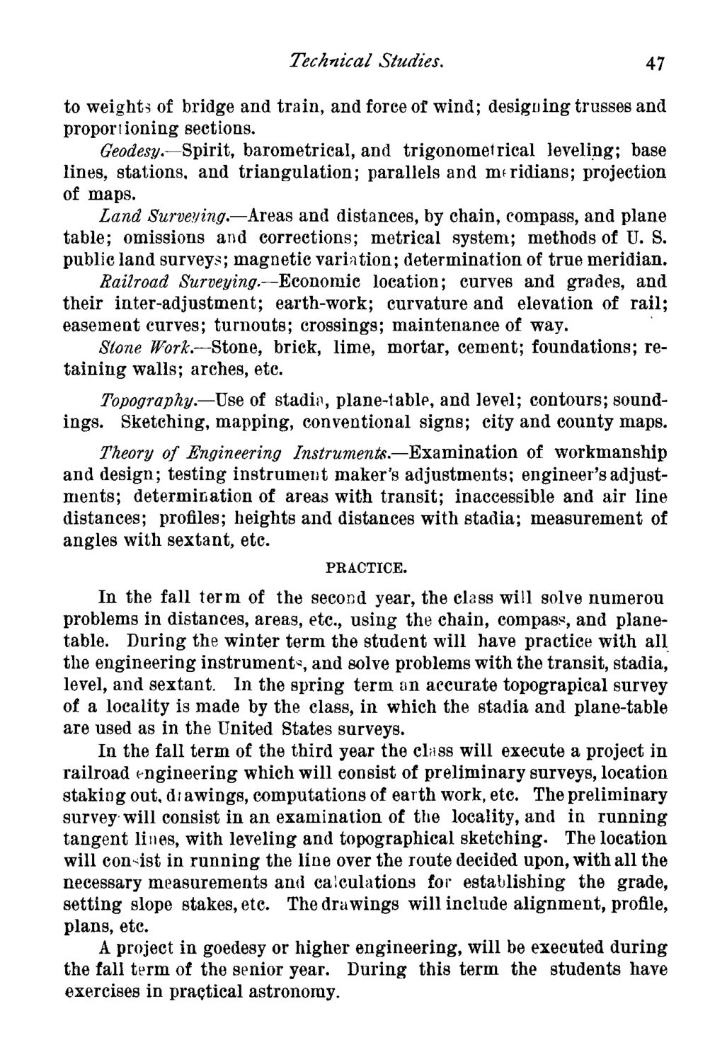
Caption: Course Catalog - 1883-1884
This is a reduced-resolution page image for fast online browsing.
EXTRACTED TEXT FROM PAGE:
Technical Studies. 47 to weights of bridge and train, and force of wind; designing trusses and proportioning sections. Geodesy.—Spirit, barometrical, and trigonometrical leveling; base lines, stations, and triangulation; parallels and rmridians; projection of maps. Land Surveying.—Areas and distances, by chain, compass, and plane table; omissions and corrections; metrical system; methods of U. S. public land surveys; magnetic variation; determination of true meridian. Railroad Surveying.—Bconomie location; curves and grades, and their inter-adjustment; earth-work; curvature and elevation of rail; easement curves; turnouts; crossings; maintenance of way. Stone Work.—Stone, brick, lime, mortar, cement; foundations; retaining walls; arches, etc. Topography—-Use of stadin, plane-table, and level; contours; soundings. Sketching, mapping, conventional signs; city and county maps. Theory of Engineering Instruments.—Examination of workmanship and design; testing instrument maker's adjustments; engineer's adjustments; determination of areas with transit; inaccessible and air line distances; profiles; heights and distances with stadia; measurement of angles with sextant, etc. PRACTICE. In the fall term of the second year, the class will solve numerou problems in distances, areas, etc., using the chain, compass, and planetable. During the winter term the student will have practice with all the engineering instruments and solve problems with the transit, stadia, level, and sextant. In the spring term on accurate topograpical survey of a locality is made by the class, in which the stadia and plane-table are used as in the United States surveys. In the fall term of the third year the class will execute a project in railroad engineering which will eonsist of preliminary surveys, location staking out, di awings, computations of earth work, etc. The preliminary survey will consist in an examination of the locality, and in running tangent lines, with leveling and topographical sketching. The location will consist in running the line over the route decided upon, with all the necessary measurements and calculations for establishing the grade, setting slope stakes, etc. The drawings will include alignment, profile, plans, etc. A project in goedesy or higher engineering, will be executed during the fall term of the senior year. During this term the students have exercises in practical astronomy.
| |