| |
| |
Caption: Board of Trustees Minutes - 1992
This is a reduced-resolution page image for fast online browsing.

EXTRACTED TEXT FROM PAGE:
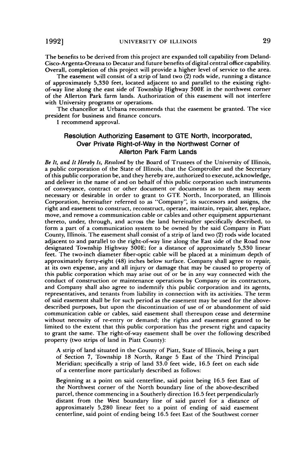
1992] UNIVERSITY OF ILLINOIS 29 The benefits to be derived from this project are expanded toll capability from DelandCisco-Argenta-Oreana to Decatur and future benefits of digital central office capability. Overall, completion of this project will provide a higher level of service to the area. The easement will consist of a strip of land two (2) rods wide, running a distance of approximately 5,330 feet, located adjacent to and parallel to the existing rightof-way line along the east side of Township Highway 300E in the northwest corner of the Allerton Park farm lands. Authorization of this easement will not interfere with University programs or operations. The chancellor at Urbana recommends that the easement be granted. The vice president for business and finance concurs. I recommend approval. Resolution Authorizing Easement to GTE North, incorporated, Over Private Right-of-Way in the Northwest Corner of Allerton Park Farm Lands Be It, and It Hereby Is, Resolved by the Board of Trustees of the University of Illinois, a public corporation of the State of Illinois, that the Comptroller and the Secretary of this public corporation be, and they hereby are, authorized to execute, acknowledge, and deliver in the name of and on behalf of this public corporation such instruments of conveyance, contract or other document or documents as to them may seem necessary or desirable in order to grant to GTE North, Incorporated, an Illinois Corporation, hereinafter referred to as "Company", its successors and assigns, the right and easement to construct, reconstruct, operate, maintain, repair, alter, replace, move, and remove a communication cable or cables and other equipment appurtenant thereto, under, through, and across the land hereinafter specifically described, to form a part of a communication system to be owned by the said Company in Piatt County, Illinois. The easement shall consist of a strip of land two (2) rods wide located adjacent to and parallel to the right-of-way line along the East side of the Road now designated Township Highway 300E; for a distance of approximately 5,330 linear feet. The two-inch diameter fiber-optic cable will be placed at a minimum depth of approximately forty-eight (48) inches below surface. Company shall agree to repair, at its own expense, any and all injury or damage that may be caused to property of this public corporation which may arise out of or be in any way connected with the conduct of construction or maintenance operations by Company or its contractors, and Company shall also agree to indemnify this public corporation and its agents, representatives, and tenants from liability in connection with its activities. The term of said easement shall be for such period as the easement may be used for the abovedescribed purposes, but upon the discontinuation of use of or abandonment of said communication cable or cables, said easement shall thereupon cease and determine without necessity of re-entry or demand; the rights and easement granted to be limited to the extent that this public corporation has the present right and capacity to grant the same. The right-of-way easement shall be over the following described property (two strips of land in Piatt County): A strip of land situated in the County of Piatt, State of Illinois, being a part of Section 7, Township 18 North, Range 5 East of the Third Principal Meridian; specifically a strip of land 33.0 feet wide, 16.5 feet on each side of a centerline more particularly described as follows: Beginning at a point on said centerline, said point being 16.5 feet East of the Northwest corner of the North boundary line of the above-described parcel, thence commencing in a Southerly direction 16.5 feet perpendicularly distant from the West boundary line of said parcel for a distance of approximately 5,280 linear feet to a point of ending of said easement centerline, said point of ending being 16.5 feet East of the Southwest corner
| |