| |
| |
Caption: Course Catalog - 1879-1880
This is a reduced-resolution page image for fast online browsing.
EXTRACTED TEXT FROM PAGE:
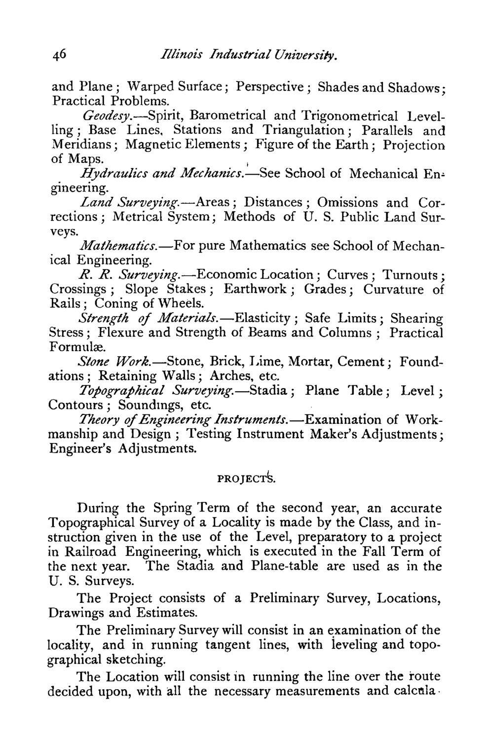
46 Illinois Industrial University. and Plane; Warped Surface; Perspective; Shades and Shadows; Practical Problems. Geodesy.—Spirit, Barometrical and Trigonometrical Levelling ; Base Lines, Stations and Triangulation; Parallels and Meridians; Magnetic Elements; Figure of the Earth; Projection of Maps. , Hydraulics and Mechanics.—See School of Mechanical Engineering. land Surveying.—Areas ; Distances ; Omissions and Corrections ; Metrical System; Methods of U. S. Public Land Surveys. Mathematics.—For pure Mathematics see School of Mechanical Engineering. R. R. Surveying.— Economic Location; Curves ; Turnouts; Crossings ; Slope Stakes; Earthwork; Grades; Curvature of Rails; Coning of Wheels. Strength of Materials.—Elasticity; Safe Limits; Shearing Stress; Flexure and Strength of Beams and Columns ; Practical Formulae. Stone Work.—Stone, Brick, Lime, Mortar, Cement; Foundations ; Retaining Walls; Arches, etc. Topographical Surveying.—Stadia; Plane Table; Level; Contours; Soundings, etc. Theory of Engineering Instruments.—Examination of Workmanship and Design ; Testing Instrument Maker's Adjustments; Engineer's Adjustments. PROJECT^. During the Spring Term of the second year, an accurate Topographical Survey of a Locality is made by the Class, and instruction given in the use of the Level, preparatory to a project in Railroad Engineering, which is executed in the Fall Term of the next year. The Stadia and Plane-table are used as in the U. S. Surveys. The Project consists of a Preliminary Survey, Locations, Drawings and Estimates. The Preliminary Survey will consist in an examination of the locality, and in running tangent lines, with leveling and topographical sketching. The Location will consist in running the line over the route decided upon, with all the necessary measurements and calcnla •
| |