Caption: Map of UIUC (2001) (Allerton)
This is a reduced-resolution page image for fast online browsing.
EXTRACTED TEXT FROM PAGE:
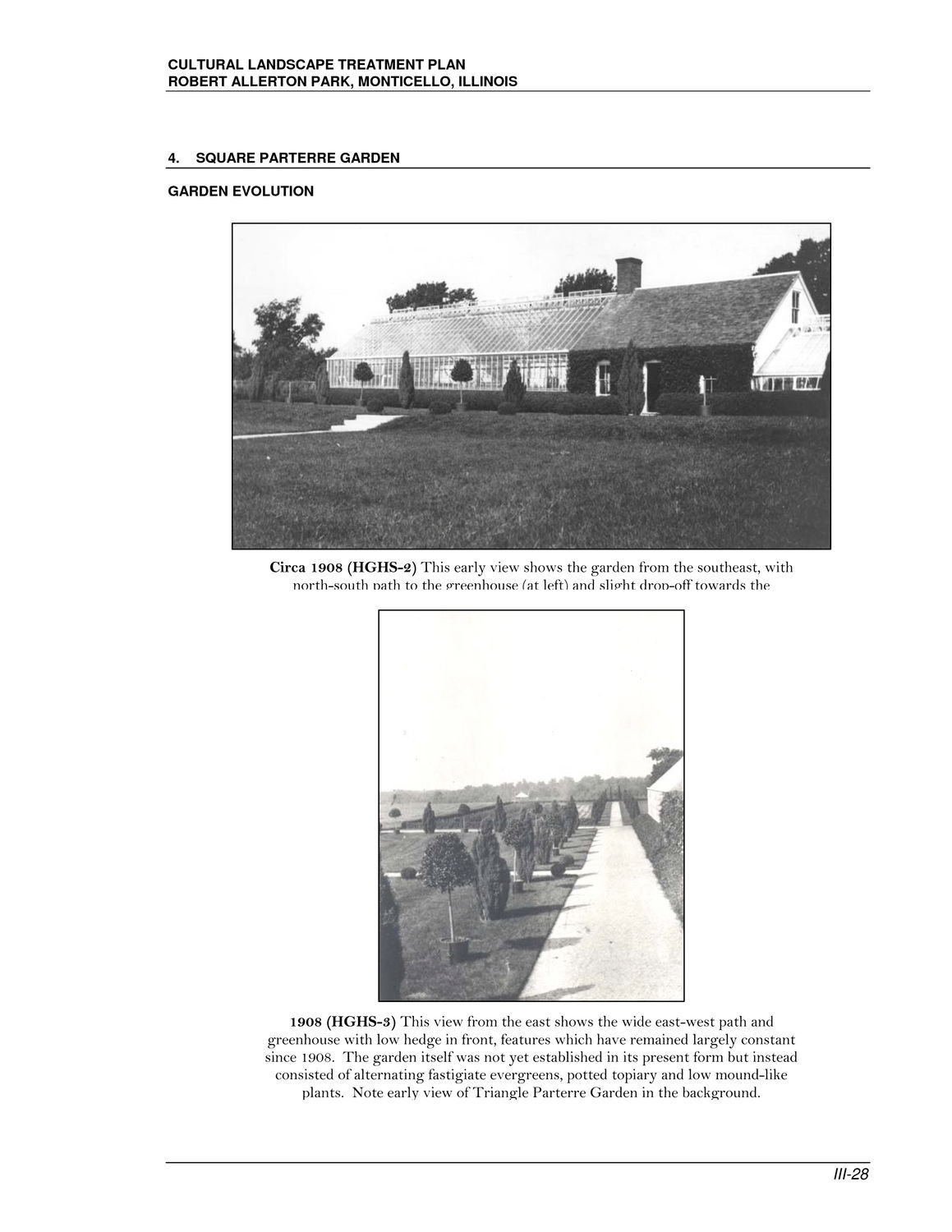
CULTURAL LANDSCAPE TREATMENT PLAN ROBERT ALLERTON PARK, MONTICELLO, ILLINOIS 4. SQUARE PARTERRE GARDEN GARDEN EVOLUTION Circa 1908 (HGHS-2) This early view shows the garden from the southeast, with north-south path to the greenhouse (at left) and slight drop-off towards the 1908 (HGHS-3) This view from the east shows the wide east-west path and greenhouse with low hedge in front, features which have remained largely constant since 1908. The garden itself was not yet established in its present form but instead consisted of alternating fastigiate evergreens, potted topiary and low mound-like plants. Note early view of Triangle Parterre Garden in the background. III-28
|