| |
| |
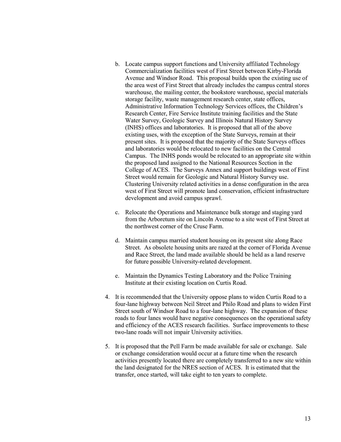
Caption: Map of UIUC (1999) (South Campus)
This is a reduced-resolution page image for fast online browsing.
EXTRACTED TEXT FROM PAGE:
b. Locate campus support functions and University affiliated Technology Commercialization facilities west of First Street between Kirby-Florida Avenue and Windsor Road. This proposal builds upon the existing use of the area west of First Street that already includes the campus central stores warehouse, the mailing center, the bookstore warehouse, special materials storage facility, waste management research center, state offices, Administrative Information Technology Services offices, the Children’s Research Center, Fire Service Institute training facilities and the State Water Survey, Geologic Survey and Illinois Natural History Survey (INHS) offices and laboratories. It is proposed that all of the above existing uses, with the exception of the State Surveys, remain at their present sites. It is proposed that the majority of the State Surveys offices and laboratories would be relocated to new facilities on the Central Campus. The INHS ponds would be relocated to an appropriate site within the proposed land assigned to the National Resources Section in the College of ACES. The Surveys Annex and support buildings west of First Street would remain for Geologic and Natural History Survey use. Clustering University related activities in a dense configuration in the area west of First Street will promote land conservation, efficient infrastructure development and avoid campus sprawl. c. Relocate the Operations and Maintenance bulk storage and staging yard from the Arboretum site on Lincoln Avenue to a site west of First Street at the northwest corner of the Cruse Farm. d. Maintain campus married student housing on its present site along Race Street. As obsolete housing units are razed at the corner of Florida Avenue and Race Street, the land made available should be held as a land reserve for future possible University-related development. e. Maintain the Dynamics Testing Laboratory and the Police Training Institute at their existing location on Curtis Road. 4. It is recommended that the University oppose plans to widen Curtis Road to a four-lane highway between Neil Street and Philo Road and plans to widen First Street south of Windsor Road to a four-lane highway. The expansion of these roads to four lanes would have negative consequences on the operational safety and efficiency of the ACES research facilities. Surface improvements to these two-lane roads will not impair University activities. 5. It is proposed that the Pell Farm be made available for sale or exchange. Sale or exchange consideration would occur at a future time when the research activities presently located there are completely transferred to a new site within the land designated for the NRES section of ACES. It is estimated that the transfer, once started, will take eight to ten years to complete. 13
| |