| |
| |
Caption: Book - 16 Years (Edmund James)
This is a reduced-resolution page image for fast online browsing.

EXTRACTED TEXT FROM PAGE:
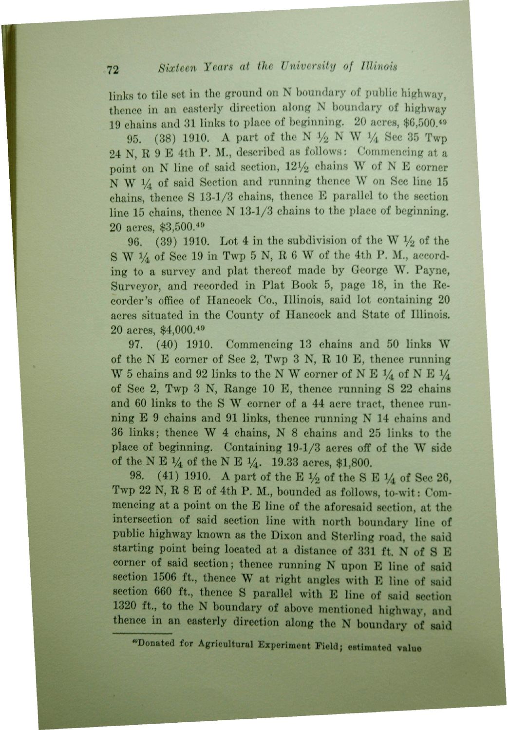
72 Sixteen Years at the University of Illinois links to tile set in the ground on N boundary of public highway, thence in an easterly direction along N boundary of highway 19 chains and 31 links to place of beginning. 20 acres, $6,500." 95. (38) 1910. A part of the N % N W % Sec 35 Twp 24 N, B 9 B 4th P. M., described as follows: Commencing at a point on N line of said section, 1 2 ^ chains W of N B corner N W % of said Section and running thence W on Sec line 15 chains, thence S 13-1/3 chains, thence E parallel to the section line 15 chains, thence N 134/3 chains to the place of beginning. 20 acres, $3,500.40 96. (39) 1910. Lot 4 in the subdivision of the W % of the S W % of Sec 19 in Twp 5 N, B 6 W of the 4th P. M., according to a survey and plat thereof made by George W. Payne, Surveyor, and recorded in Plat Book 5, page 18, in the Recorder's office of Hancock Co., Illinois, said lot containing 20 acres situated in the County of Hancock and State of Illinois. 20 acres, $4,000.49 97. (40) 1910. Commencing 13 chains and 50 links W of the N B corner of Sec 2, Twp 3 N, B 10 E, thence running W 5 chains and 92 links to the N W corner of N E y4 of N B y4 of Sec 2, Twp 3 N, Bange 10 E, thence running S 22 chains and 60 links to the S W corner of a 44 acre tract, thence running E 9 chains and 91 links, thence running N 14 chains and 36 links; thence W 4 chains, N 8 chains and 25 links to the place of beginning. Containing 19-1/3 acres off of the W side of the N E 14 of the N E 14. 19.33 acres, $1,800. 98. (41) 1910. A part of the B % of the S E y4 of Sec 26, Twp 22 N, B 8 E of 4th P. M., bounded as follow'8, to-wit: Commencing at a point on the B line of the aforesaid section, at the intersection of said section line with north boundary line of public highway known as the Dixon and Sterling road, the said starting point being located at a distance of 331 ft. N of S B corner of said section; thence running N upon E line of said section 1506 ft., thence W at right angles with E line of said section 660 ft., thence 8 parallel with B line of said section 1320 ft, to the N boundary of above mentioned highway, and thence in an easterly direction along the N boundary of said "Donated for Agricultural Experiment Field; estimated valuo
| |