| |
| |
Caption: Book - 16 Years (Edmund James)
This is a reduced-resolution page image for fast online browsing.

EXTRACTED TEXT FROM PAGE:
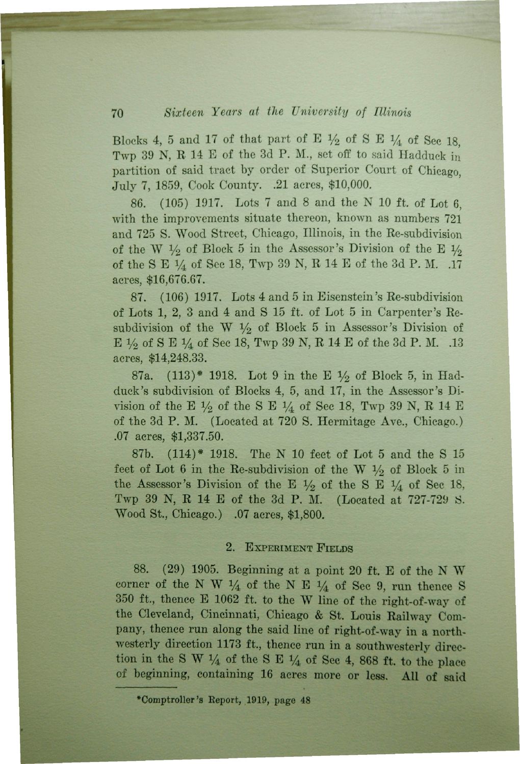
70 Sixteen Years at the University of Illinois Blocks 4, 5 and 17 of that part of B y 2 of S E 14 of Sec 18, Twp 39 N, R 14 E of the 3d P. M., set off to said Hadduck in partition of said tract by order of Superior Court of Chicago, July 7, 1859, Cook County. .21 acres, $10,000. 86. (105) 1917. Lots 7 and 8 and the N 10 ft. of Lot 6, with the improvements situate thereon, known as numbers 721 and 725 S. Wood Street, Chicago, Illinois, in the Re-subdivision of the W y% of Block 5 in the Assessor's Division of the E y2 of the S E y 4 of Sec 18, Twp 39 N, R 14 E of the 3d P. M. .17 acres, $16,676.67. 87. (106) 1917. Lots 4 and 5 in Eisenstein's Re-subdivision of Lots 1, 2, 3 and 4 and S 15 ft. of Lot 5 in Carpenter's Resubdivision of the W y2 of Block 5 in Assessor's Division of E y 2 of S E 14 of Sec 18, Twp 39 N, R 14 E of the 3d P. M. .13 acres, $14,248.33. 87a. (113)* 1918. Lot 9 in the E y2 of Block 5, in Hadduck 's subdivision of Blocks 4, 5, and 17, in the Assessor's Division of the E i/2 of the S E Vi of Sec 18, Twp 39 N, R 14 E of the 3d P. M. (Located at 720 S. Hermitage Ave., Chicago.) .07 acres, $1,337.50. 87b. (114)* 1918. The N 10 feet of Lot 5 and the S 15 feet of Lot 6 in the Re-subdivision of the W y2 of Block 5 in the Assessor's Division of the E y2 of the S E V4 of Sec 18, Twp 39 N, R 14 E of the 3d P. M. (Located at 727-729 S. Wood St., Chicago.) .07 acres, $1,800. 2. EXPERIMENT FIELDS 88. (29) 1905. Beginning at a point 20 ft. E of the N W corner of the N W 14 of the N E V4 of Sec 9, run thence S 350 ft., thence E 1062 ft. to the W line of the right-of-way of the Cleveland, Cincinnati, Chicago & St. Louis Railway Company, thence run along the said line of right-of-way in a northwesterly direction 1173 ft., thence run in a southwesterly direction in the S W V4 of the S E Vi of Sec 4, 868 ft. to the place of beginning, containing 16 acres more or less. All of said •Comptroller's Eeport, 1919, page 48
| |