| |
| |
Caption: Board of Trustees Minutes - 1948
This is a reduced-resolution page image for fast online browsing.
EXTRACTED TEXT FROM PAGE:
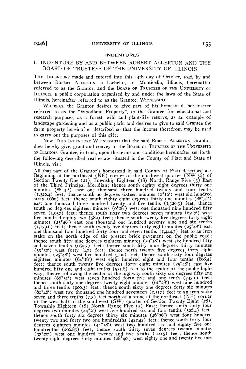
1946] UNIVERSITY OF ILLINOIS INDENTURES 155 I. I N D E N T U R E BY A N D B E T W E E N R O B E R T A L L E R T O N A N D T H E BOARD O F TRUSTEES O F T H E UNIVERSITY O F ILLINOIS T H I S INDENTURE made and entered into this 14th day of October, 1946, by and between ROBERT ALLERTON, a bachelor, of Monticello, Illinois, hereinafter referred to as the Grantor, and the BOARD OF TRUSTEES OF THE UNIVERSITY OF ILLINOIS, a public corporation organized by and under the laws of the State of Illinois, hereinafter referred to as the Grantee, WITNESSETH: WHEREAS, the Grantor desires to give part of his homestead, hereinafter referred to as the "Woodland Property", to the Grantee for educational and research purposes, as a forest, wild and plant-life reserve, as an example of landscape gardening and as a public park, and desires to give to said Grantee the farm property hereinafter described so that the income therefrom may be used to carry out the purposes of this gift; Now T H I S INDENTURE W I T N E S S E T H that the said ROBERT ALLERTON, Grantor, does hereby give, grant and convey to the BOARD OF TRUSTEES OF THE UNIVERSITY OF ILLINOIS, Grantee, in trust, upon the terms and conditions hereinafter set forth, the following described real estate situated in the County of Piatt and State of Illinois, viz.: All that part of the Grantor's homestead in said County of Piatt described a s : Beginning at the northeast ( N E ) corner of the northwest quarter ( N W YA) of Section Twenty One (21), Township Eighteen (18) North, Range Five (5) East of the Third Principal Meridian; thence south eighty eight degrees thirty one minutes (88°3i') east one thousand three hundred twenty and four tenths (1,320.4) feet; thence south no degrees sixteen minutes (o°l6') west six hundred sixty (660) feet; thence south eighty eight degrees thirty one minutes (88°3l') east one thousand three hundred twenty and five tenths (1,320.5) feet; thence south no degrees eighteen minutes (o°i8') west one thousand nine hundred fifty seven (1,957) feet; thence south sixty two degrees seven minutes (62°7') west five hundred eighty two (582) feet; thence south twenty five degrees forty eight minutes (25°48') east one thousand one hundred seventy nine and six tenths (1,179.6) feet; thence south twenty five degrees forty eight minutes (25°48') east one thousand four hundred forty four and seven tenths (1,^^.7) feet to an iron stake on t h e north edge of the present brick pavement on the public road; thence south fifty nine degrees eighteen minutes (59°l8') west six hundred fifty and seven tenths (650.7) feet; thence south fifty nine degrees thirty minutes (59°3°') west forty (40) feet; thence north twenty five degrees forty eight minutes (25°48') west five hundred (500) feet; thence south sixty four degrees eighteen minutes (64° 18') west eight hundred eight and four tenths (808.4) feet; thence south twenty five degrees forty eight minutes (25°48') east five hundred fifty one and eight tenths (551.8) feet to the center of the public highw a y ; thence following the center of the highway south sixty six degrees fifty one minutes (66°5l') west seven hundred forty five and one tenth (745.1) feet; thence south sixty one degrees twenty eight minutes (6i°28') west nine hundred and three tenths (900.3) feet; thence south sixty one degrees forty six minutes (6l°46') west two thousand one hundred seventeen (2,117) feet to an iron stake seven and three tenths (7.3) feet north of a stone at the northeast ( N E ) corner of the west half of the southwest ( S W ) quarter of Section Twenty Eight (28), Township Eighteen (18) North, Range Five (5) E a s t ; thence south forty four degrees two minutes (44°2') west five hundred six and four tenths (506.4) feet; thence south forty six degrees thirty six minutes (46°36') west four hundred twenty two and forty two one hundredths (422.42) feet; thence south forty four degrees eighteen minutes (44°i8') west two hundred six and eighty five one hundredths (206.85) l e e t ; thence south thirty seven degrees twenty minutes (37°2o') west one hundred twenty and five tenths (120.5) I e e t J thence south twenty eight degrees forty minutes (28°40') west eighty one and twenty five one
| |