| |
| |
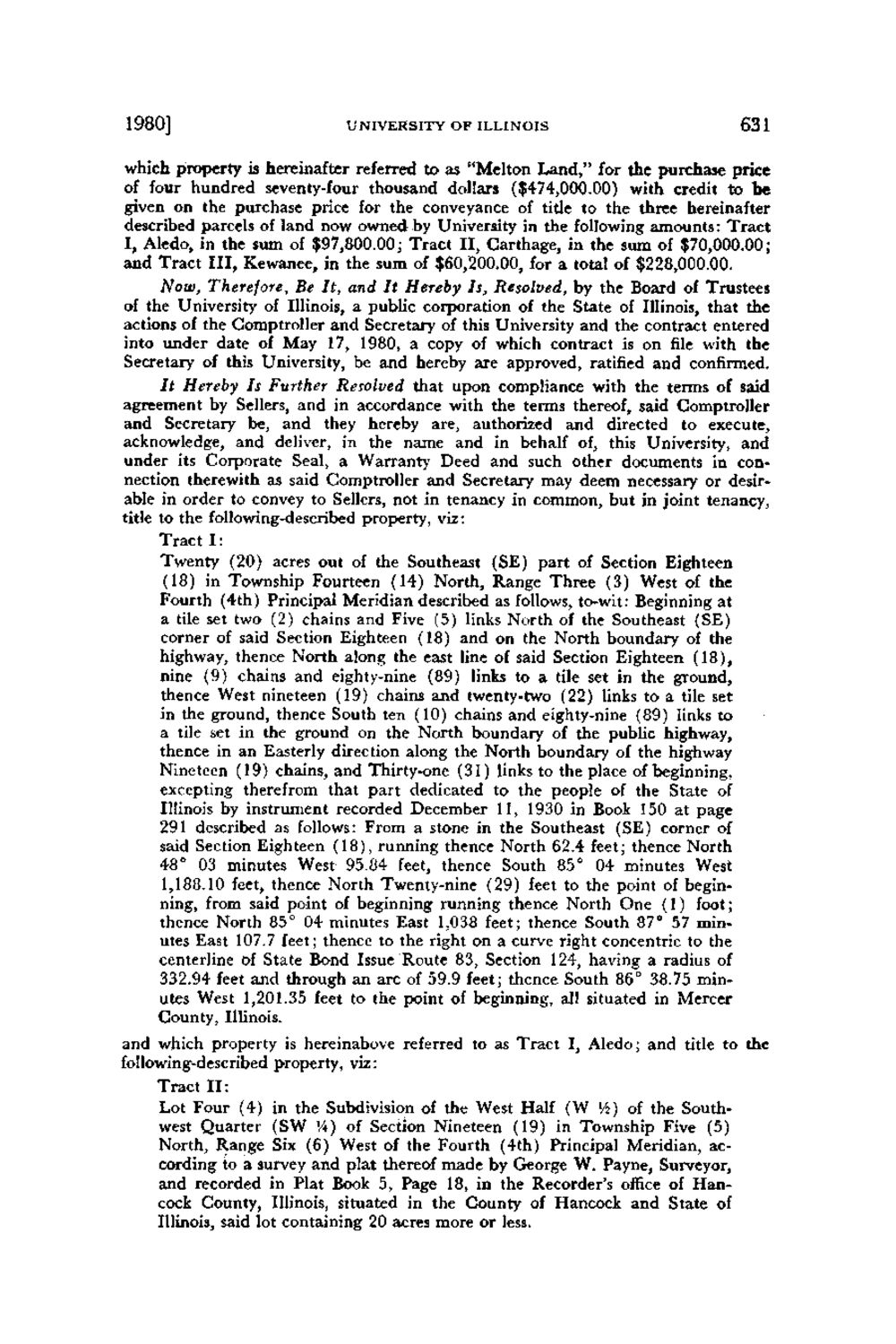
Caption: Board of Trustees Minutes - 1980
This is a reduced-resolution page image for fast online browsing.

EXTRACTED TEXT FROM PAGE:
1980] UNIVERSITY OF ILLINOIS 631 which property is hereinafter referred to as "Melton Land," for the purchase price of four hundred seventy-four thousand dollars ($474,000.00) with credit to be given on the purchase price for the conveyance of title to the three hereinafter described parcels of land now owned by University in the following amounts: Tract I, Aledo, in the sum of $97,800.00; Tract I I , Carthage, in the sum of $70,000.00; and Tract III, Kewanee, in the sum of $60,200.00, for a total of $228,000.00. Now, Therefore, Be It, and It Hereby Is, Resolved, by the Board of Trustees of the University of Illinois, a public corporation of the State of Illinois, that the actions of the Comptroller and Secretary of this University and the contract entered into under date of May 17, 1980, a copy of which contract is on file with the Secretary of this University, be and hereby are approved, ratified and confirmed. It Hereby Is Further Resolved that upon compliance with the terms of said agreement by Sellers, and in accordance with the terms thereof, said Comptroller and Secretary be, and they hereby are, authorized and directed to execute, acknowledge, and deliver, in the name and in behalf of, this University, and under its Corporate Seal, a Warrant)' Deed and such other documents in connection therewith as said Comptroller and Secretary may deem necessary or desirable in order to convey to Sellers, not in tenancy in common, but in joint tenancy, title to the following-described property, viz: Tract I : Twenty (20) acres out of the Southeast (SE) part of Section Eighteen (18) in Township Fourteen (14) North, Range Three (3) West of the Fourth (4th) Principal Meridian described as follows, tc-wit: Beginning at a tile set two (2) chains and Five (5) links North of the Southeast (SE) corner of said Section Eighteen (18) and on the North boundary of the highway, thence North along the east line of said Section Eighteen (18), nine (9) chains and eighty-nine (89) links to a tile set in the ground, thence West nineteen (19) chains and twenty-two (22) links to a tile set in the ground, thence South ten (10) chains and eighty-nine (89) links to a tile set in the ground on the North boundary of the public highway, thence in an Easterly direction along the North boundary of the highway Nineteen (19) chains, and Thirty-one (31) links to the place of beginning, excepting therefrom that part dedicated to the people of the State of Illinois by instrument recorded December 11, 1930 in Book 150 at page 291 described as follows: From a stone in the Southeast (SE) corner of said Section Eighteen (18), running thence North 62.4 feet; thence North 48° 03 minutes West 95.84 feet, thence South 85° 04 minutes West 1,188.10 feet, thence North Twenty-nine (29) feet to the point of beginning, from said point of beginning running thence North One (1) foot; thence North 85° 04 minutes East 1,038 feet; thence South 87° 57 minutes East 107.7 feet; thence to the right on a curve right concentric to the centerline of State Bond Issue Route 83, Section 124, having a radius of 332.94 feet and through an arc of 59.9 feet; thence South 86° 38.75 minutes West 1,201.35 feet to the point of beginning, all situated in Mercer County, Illinois. and which property is hereinabove referred to as Tract I, Aledo; and title to the following-described property, viz: Tract I I : Lot Four (4) in the Subdivision of the West Half (W V4) of the Southwest Quarter (SW '/») of Section Nineteen (19) in Township Five (5) North, Range Six (6) West of the Fourth (4th) Principal Meridian, according to a survey and plat thereof made by George W. Payne, Surveyor, and recorded in Plat Book 5, Page 18, in the Recorder's office of Hancock County, Illinois, situated in the County of Hancock and State of Illinois, said lot containing 20 acres more or less.
| |