| |
| |
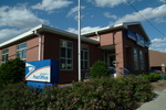
Caption: Course Catalog - 1884-1885
This is a reduced-resolution page image for fast online browsing.
EXTRACTED TEXT FROM PAGE:
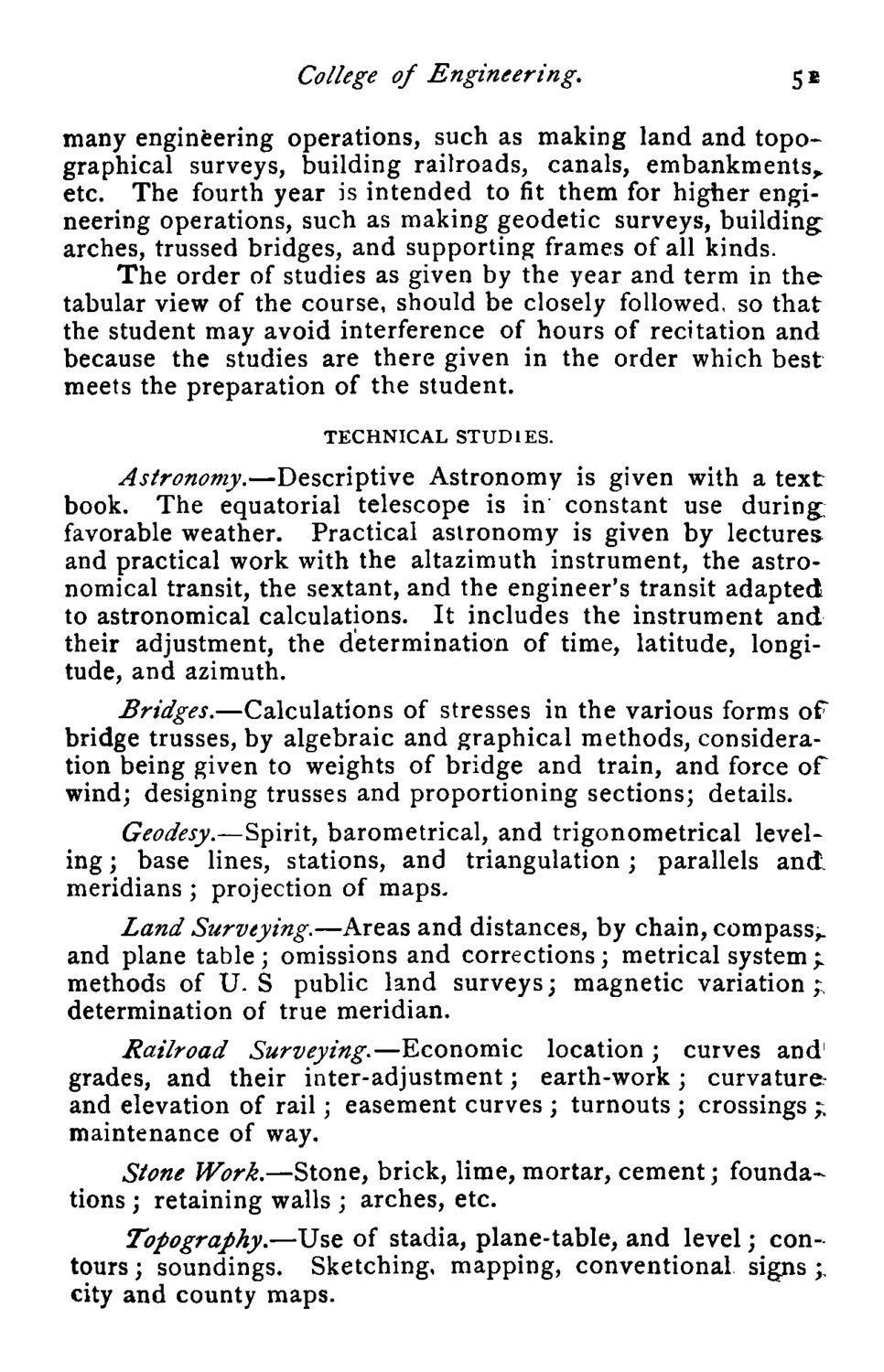
College of Engineering. 5E many engineering operations, such as making land and topographical surveys, building railroads, canals, embankments, etc. The fourth year is intended to fit them for higher engineering operations, such as making geodetic surveys, building; arches, trussed bridges, and supporting frames of all kinds. The order of studies as given by the year and term in the tabular view of the course, should be closely followed, so that the student may avoid interference of hours of recitation and because the studies are there given in the order which best meets the preparation of the student. TECHNICAL STUDIES. Astronomy.—Descriptive Astronomy is given with a text book. The equatorial telescope is in constant use during, favorable weather. Practical astronomy is given by lectures and practical work with the altazimuth instrument, the astronomical transit, the sextant, and the engineer's transit adapted to astronomical calculations. It includes the instrument and their adjustment, the determination of time, latitude, longitude, and azimuth. Bridges.—Calculations of stresses in the various forms of bridge trusses, by algebraic and graphical methods, consideration being given to weights of bridge and train, and force of wind; designing trusses and proportioning sections; details. Geodesy.—Spirit, barometrical, and trigonometrical leveling ; base lines, stations, and triangulation; parallels and. meridians ; projection of maps. Land Surveying.—Areas and distances, by chain, compass,, and plane table; omissions and corrections; metrical system;. methods of U. S public land surveys; magnetic variation;, determination of true meridian. Railroad Surveying.—Economic location ; curves and1 grades, and their inter-adjustment; earth-work; curvature and elevation of rail; easement curves : maintenance of way. Stone Work.—Stone, brick, lime, mortar, cement; foundations ; retaining walls ; arches, etc. Topography.—Use of stadia, plane-table, and level; contours ; soundings. Sketching, mapping, conventional signs ;, city and county maps.
| |