| |
| |
Caption: Board of Trustees Minutes - 1990
This is a reduced-resolution page image for fast online browsing.

EXTRACTED TEXT FROM PAGE:
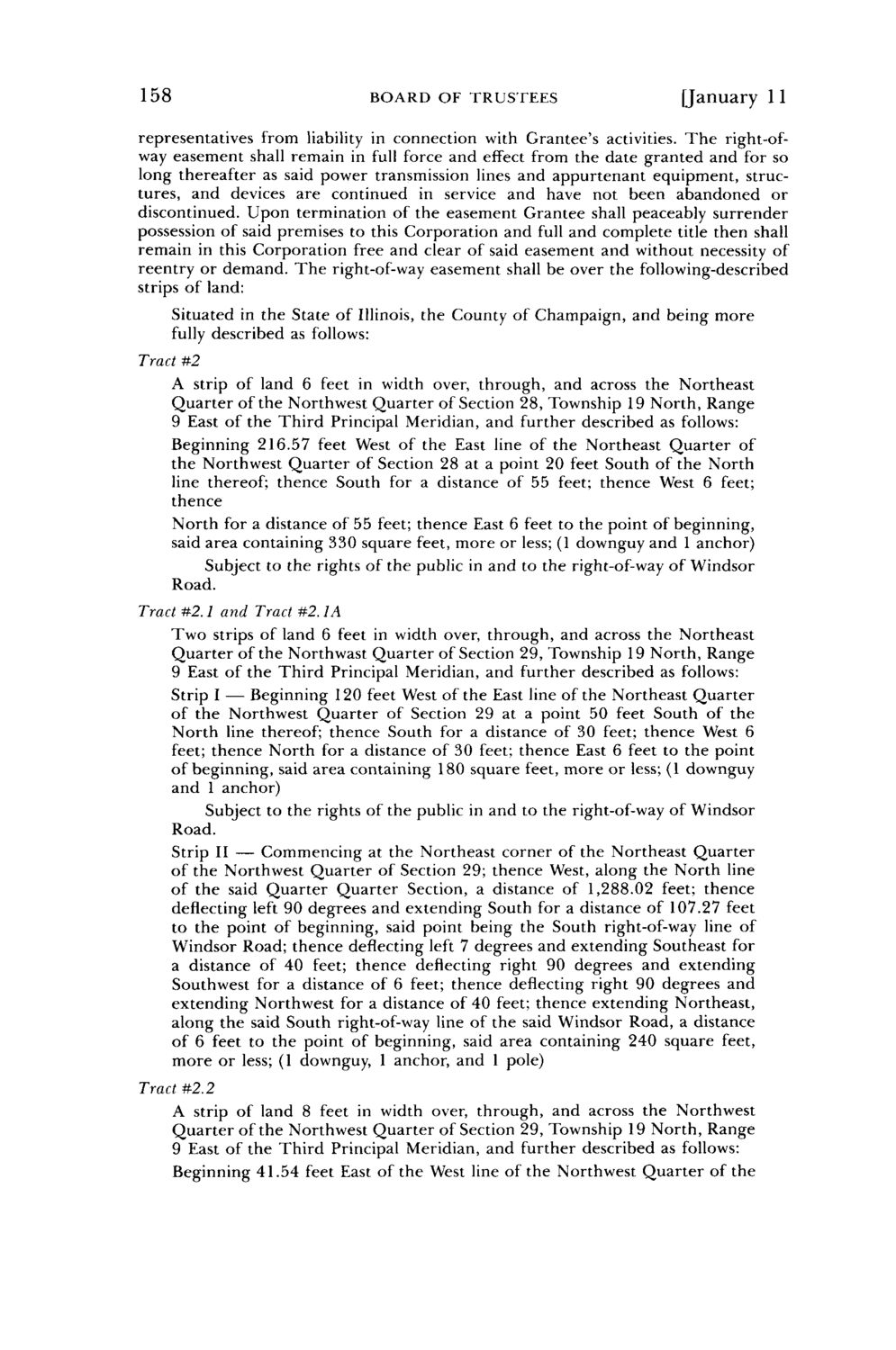
158 BOARD O F T R U S T E E S [January 11 representatives from liability in connection with Grantee's activities. T h e right-ofway easement shall remain in full force and effect from the date granted and for so long thereafter as said power transmission lines and appurtenant equipment, structures, and devices are continued in service and have not been abandoned or discontinued. Upon termination of the easement Grantee shall peaceably surrender possession of said premises to this Corporation and full and complete title then shall remain in this Corporation free and clear of said easement and without necessity of reentry or demand. T h e right-of-way easement shall be over the following-described strips of land: Situated in the State of Illinois, the County of Champaign, and being more fully described as follows: Tract #2 A strip of land 6 feet in width over, through, and across the Northeast Quarter of the Northwest Quarter of Section 28, Township 19 North, Range 9 East of the Third Principal Meridian, and further described as follows: Beginning 216.57 feet West of the East line of the Northeast Quarter of the Northwest Quarter of Section 28 at a point 20 feet South of the North line thereof; thence South for a distance of 55 feet; thence West 6 feet; thence North for a distance of 55 feet; thence East 6 feet to the point of beginning, said area containing 330 square feet, more or less; (1 downguy and 1 anchor) Subject to the rights of the public in and to the right-of-way of Windsor Road. Tract #2.1 and Tract #2.1A Two strips of land 6 feet in width over, through, and across the Northeast Quarter of the Northwast Quarter of Section 29, Township 19 North, Range 9 East of the Third Principal Meridian, and further described as follows: Strip I — Beginning 120 feet West of the East line of the Northeast Quarter of the Northwest Quarter of Section 29 at a point 50 feet South of the North line thereof; thence South for a distance of 30 feet; thence West 6 feet; thence North for a distance of 30 feet; thence East 6 feet to the point of beginning, said area containing 180 square feet, more or less; (1 downguy and 1 anchor) Subject to the rights of the public in and to the right-of-way of Windsor Road. Strip II — Commencing at the Northeast corner of the Northeast Quarter of the Northwest Quarter of Section 29; thence West, along the North line of the said Quarter Quarter Section, a distance of 1,288.02 feet; thence deflecting left 90 degrees and extending South for a distance of 107.27 feet to the point of beginning, said point being the South right-of-way line of Windsor Road; thence deflecting left 7 degrees and extending Southeast for a distance of 40 feet; thence deflecting right 90 degrees and extending Southwest for a distance of 6 feet; thence deflecting right 90 degrees and extending Northwest for a distance of 40 feet; thence extending Northeast, along the said South right-of-way line of the said Windsor Road, a distance of 6 feet to the point of beginning, said area containing 240 square feet, more or less; (1 downguy, 1 anchor, and 1 pole) Tract #2.2 A strip of land 8 feet in width over, through, and across the Northwest Quarter of the Northwest Quarter of Section 29, Township 19 North, Range 9 East of the Third Principal Meridian, and further described as follows: Beginning 41.54 feet East of the West line of the Northwest Quarter of the
| |