Caption: Map of UIUC (2001) (Allerton)
This is a reduced-resolution page image for fast online browsing.
EXTRACTED TEXT FROM PAGE:
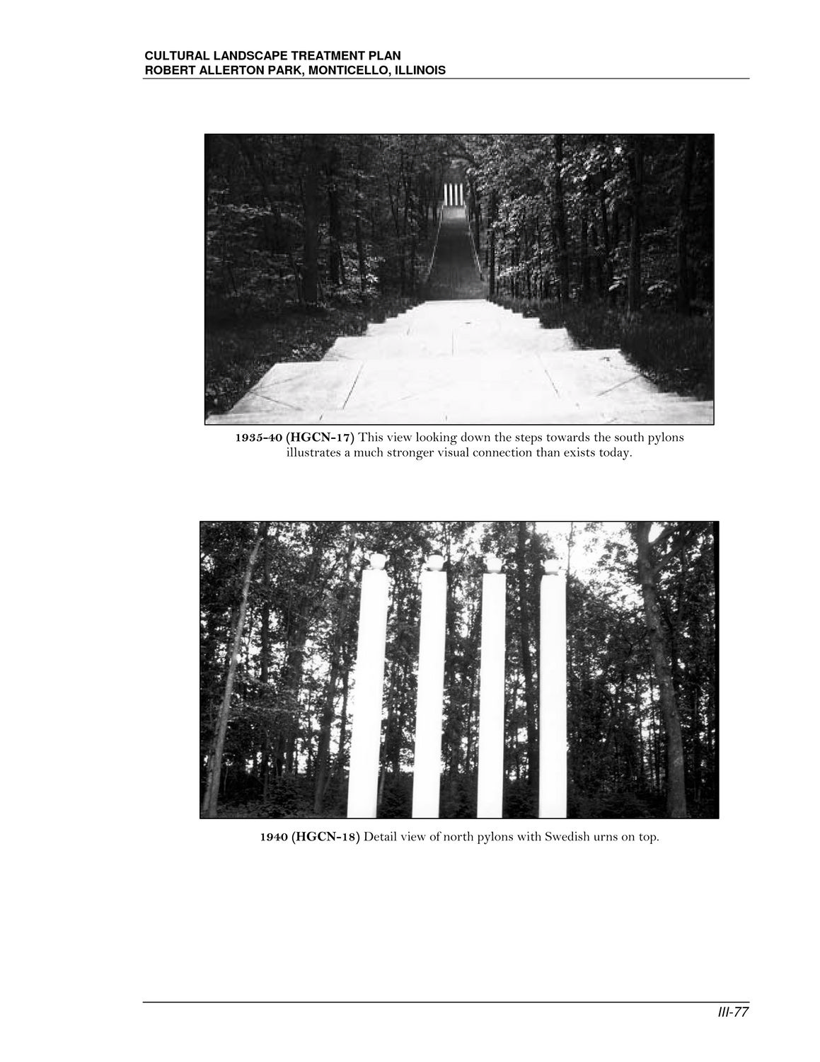
CULTURAL LANDSCAPE TREATMENT PLAN ROBERT ALLERTON PARK, MONTICELLO, ILLINOIS 1935-40 (HGCN-17) This view looking down the steps towards the south pylons illustrates a much stronger visual connection than exists today. 1940 (HGCN-18) Detail view of north pylons with Swedish urns on top. III-77
|