| |
| |
Caption: Map of UIUC (1999) (South Campus)
This is a reduced-resolution page image for fast online browsing.
EXTRACTED TEXT FROM PAGE:
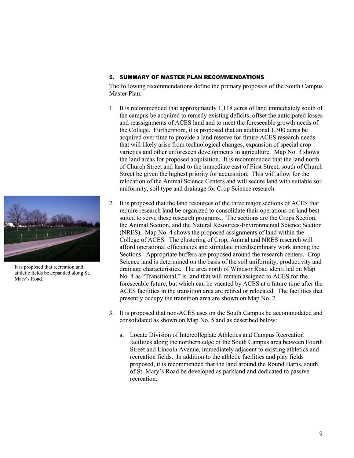
5. SUMMARY OF MASTER PLAN RECOMMENDATIONS The following recommendations define the primary proposals of the South Campus Master Plan. 1. It is recommended that approximately 1,118 acres of land immediately south of the campus be acquired to remedy existing deficits, offset the anticipated losses and reassignments of ACES land and to meet the foreseeable growth needs of the College. Furthermore, it is proposed that an additional 1,300 acres be acquired over time to provide a land reserve for future ACES research needs that will likely arise from technological changes, expansion of special crop varieties and other unforeseen developments in agriculture. Map No. 3 shows the land areas for proposed acquisition. It is recommended that the land north of Church Street and land to the immediate east of First Street, south of Church Street be given the highest priority for acquisition. This will allow for the relocation of the Animal Science Centers and will secure land with suitable soil uniformity, soil type and drainage for Crop Science research. 2. It is proposed that the land resources of the three major sections of ACES that require research land be organized to consolidate their operations on land best suited to serve these research programs.. The sections are the Crops Section, the Animal Section, and the Natural Resources-Environmental Science Section (NRES). Map No. 4 shows the proposed assignments of land within the College of ACES. The clustering of Crop, Animal and NRES research will afford operational efficiencies and stimulate interdisciplinary work among the Sections. Appropriate buffers are proposed around the research centers. Crop Science land is determined on the basis of the soil uniformity, productivity and drainage characteristics. The area north of Windsor Road identified on Map No. 4 as “Transitional,” is land that will remain assigned to ACES for the foreseeable future, but which can be vacated by ACES at a future time after the ACES facilities in the transition area are retired or relocated. The facilities that presently occupy the transition area are shown on Map No. 2. 3. It is proposed that non-ACES uses on the South Campus be accommodated and consolidated as shown on Map No. 5 and as described below: a. Locate Division of Intercollegiate Athletics and Campus Recreation facilities along the northern edge of the South Campus area between Fourth Street and Lincoln Avenue, immediately adjacent to existing athletics and recreation fields. In addition to the athletic facilities and play fields proposed, it is recommended that the land around the Round Barns, south of St. Mary’s Road be developed as parkland and dedicated to passive recreation. It is proposed that recreation and athletic fields be expanded along St. Mary’s Road. 9
| |