| |
| |
Caption: Map of UIUC (1999) (South Campus)
This is a reduced-resolution page image for fast online browsing.
EXTRACTED TEXT FROM PAGE:
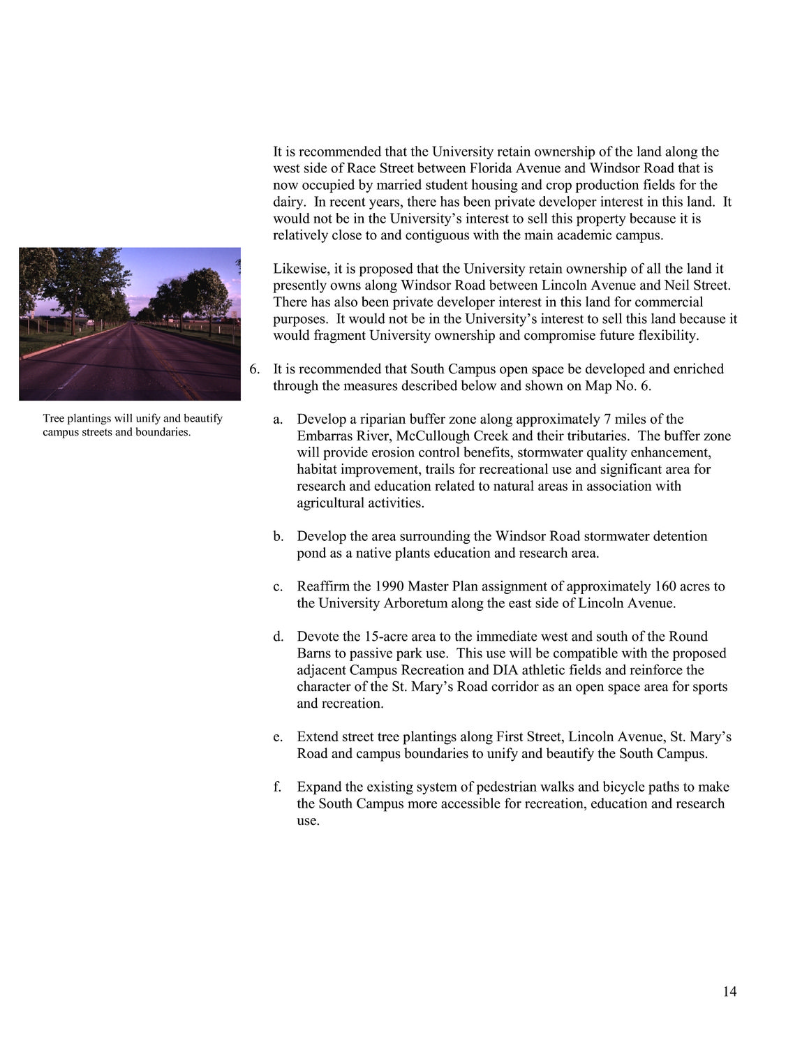
It is recommended that the University retain ownership of the land along the west side of Race Street between Florida Avenue and Windsor Road that is now occupied by married student housing and crop production fields for the dairy. In recent years, there has been private developer interest in this land. It would not be in the University’s interest to sell this property because it is relatively close to and contiguous with the main academic campus. Likewise, it is proposed that the University retain ownership of all the land it presently owns along Windsor Road between Lincoln Avenue and Neil Street. There has also been private developer interest in this land for commercial purposes. It would not be in the University’s interest to sell this land because it would fragment University ownership and compromise future flexibility. 6. It is recommended that South Campus open space be developed and enriched through the measures described below and shown on Map No. 6. Tree plantings will unify and beautify campus streets and boundaries. a. Develop a riparian buffer zone along approximately 7 miles of the Embarras River, McCullough Creek and their tributaries. The buffer zone will provide erosion control benefits, stormwater quality enhancement, habitat improvement, trails for recreational use and significant area for research and education related to natural areas in association with agricultural activities. b. Develop the area surrounding the Windsor Road stormwater detention pond as a native plants education and research area. c. Reaffirm the 1990 Master Plan assignment of approximately 160 acres to the University Arboretum along the east side of Lincoln Avenue. d. Devote the 15-acre area to the immediate west and south of the Round Barns to passive park use. This use will be compatible with the proposed adjacent Campus Recreation and DIA athletic fields and reinforce the character of the St. Mary’s Road corridor as an open space area for sports and recreation. e. Extend street tree plantings along First Street, Lincoln Avenue, St. Mary’s Road and campus boundaries to unify and beautify the South Campus. f. Expand the existing system of pedestrian walks and bicycle paths to make the South Campus more accessible for recreation, education and research use. 14
| |