| |
| |
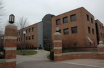
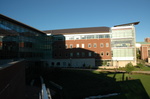
Caption: Map of UIUC (1999) (South Campus)
This is a reduced-resolution page image for fast online browsing.
EXTRACTED TEXT FROM PAGE:
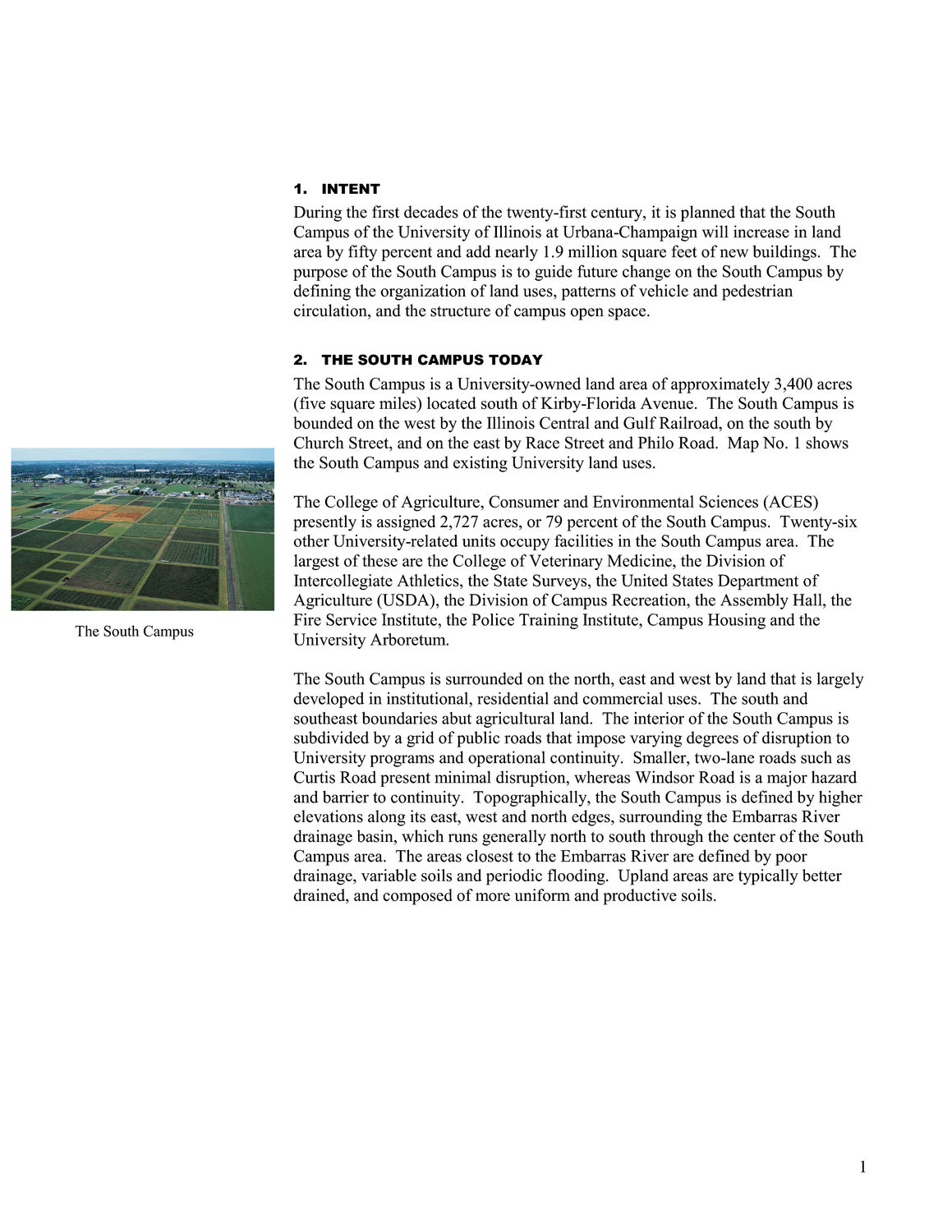
1. INTENT During the first decades of the twenty-first century, it is planned that the South Campus of the University of Illinois at Urbana-Champaign will increase in land area by fifty percent and add nearly 1.9 million square feet of new buildings. The purpose of the South Campus is to guide future change on the South Campus by defining the organization of land uses, patterns of vehicle and pedestrian circulation, and the structure of campus open space. 2. THE SOUTH CAMPUS TODAY The South Campus is a University-owned land area of approximately 3,400 acres (five square miles) located south of Kirby-Florida Avenue. The South Campus is bounded on the west by the Illinois Central and Gulf Railroad, on the south by Church Street, and on the east by Race Street and Philo Road. Map No. 1 shows the South Campus and existing University land uses. The College of Agriculture, Consumer and Environmental Sciences (ACES) presently is assigned 2,727 acres, or 79 percent of the South Campus. Twenty-six other University-related units occupy facilities in the South Campus area. The largest of these are the College of Veterinary Medicine, the Division of Intercollegiate Athletics, the State Surveys, the United States Department of Agriculture (USDA), the Division of Campus Recreation, the Assembly Hall, the Fire Service Institute, the Police Training Institute, Campus Housing and the University Arboretum. The South Campus is surrounded on the north, east and west by land that is largely developed in institutional, residential and commercial uses. The south and southeast boundaries abut agricultural land. The interior of the South Campus is subdivided by a grid of public roads that impose varying degrees of disruption to University programs and operational continuity. Smaller, two-lane roads such as Curtis Road present minimal disruption, whereas Windsor Road is a major hazard and barrier to continuity. Topographically, the South Campus is defined by higher elevations along its east, west and north edges, surrounding the Embarras River drainage basin, which runs generally north to south through the center of the South Campus area. The areas closest to the Embarras River are defined by poor drainage, variable soils and periodic flooding. Upland areas are typically better drained, and composed of more uniform and productive soils. The South Campus 1
| |