| |
| |
Caption: Map of UIUC (2001) (South Campus)
This is a reduced-resolution page image for fast online browsing.
EXTRACTED TEXT FROM PAGE:
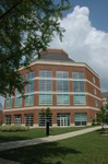
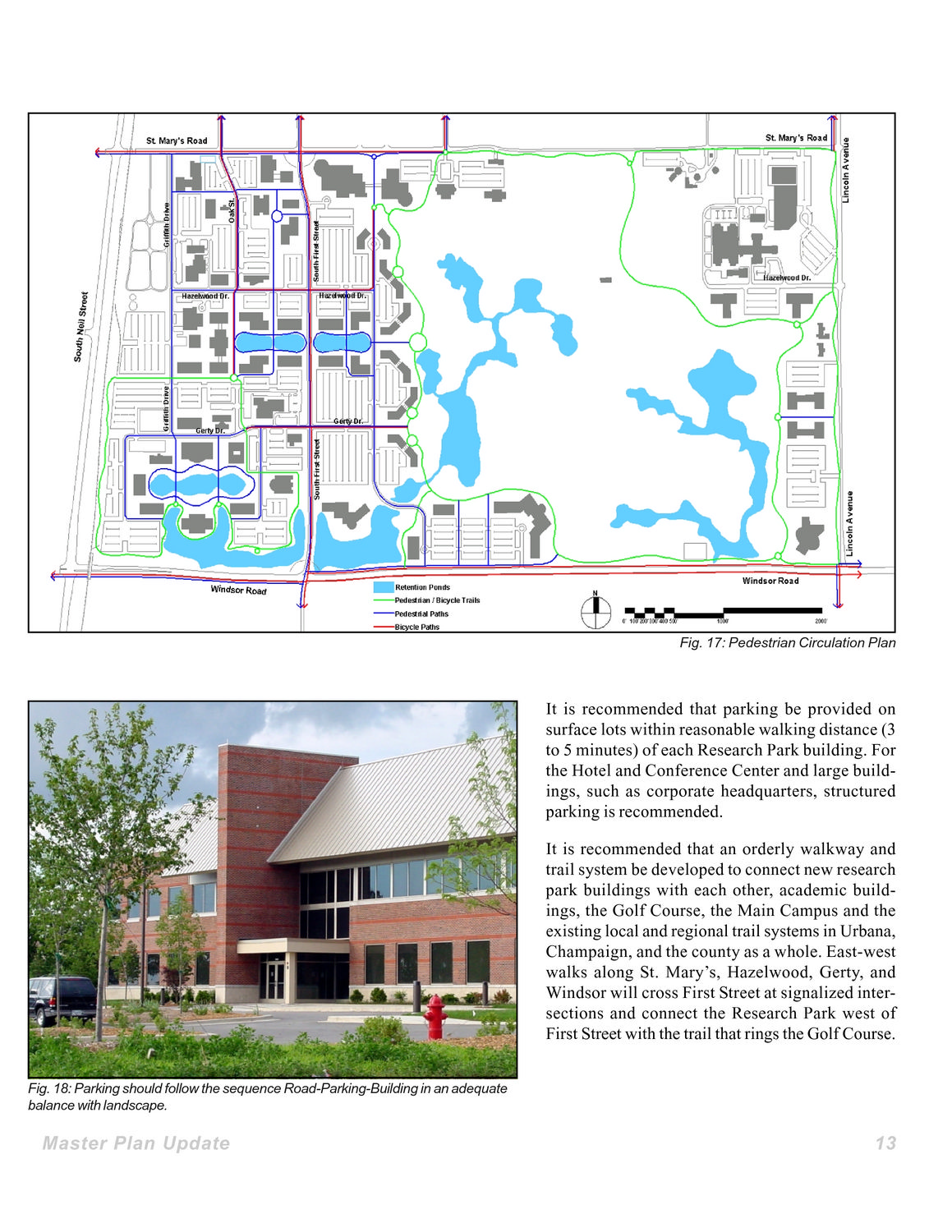
Fig. 17: Pedestrian Circulation Plan It is recommended that parking be provided on surface lots within reasonable walking distance (3 to 5 minutes) of each Research Park building. For the Hotel and Conference Center and large buildings, such as corporate headquarters, structured parking is recommended. It is recommended that an orderly walkway and trail system be developed to connect new research park buildings with each other, academic buildings, the Golf Course, the Main Campus and the existing local and regional trail systems in Urbana, Champaign, and the county as a whole. East-west walks along St. Mary’s, Hazelwood, Gerty, and Windsor will cross First Street at signalized intersections and connect the Research Park west of First Street with the trail that rings the Golf Course. Fig. 18: Parking should follow the sequence Road-Parking-Building in an adequate balance with landscape. Master Plan Update 13
| |