| |
| |
Caption: Book - 30 Year Master Plan (Tilton & O'Donnell)
This is a reduced-resolution page image for fast online browsing.
EXTRACTED TEXT FROM PAGE:
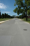
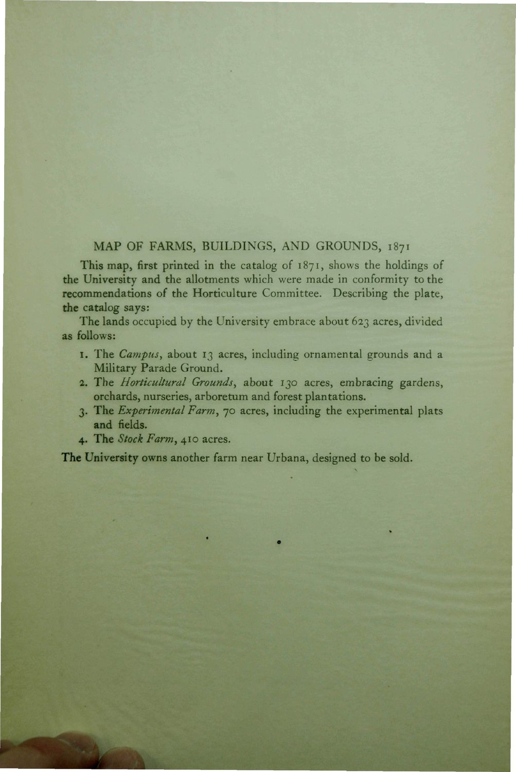
MAP OF FARMS, BUILDINGS, AND GROUNDS, 1871 This map, first printed in the catalog of 1871, shows the holdings of the University and the allotments which were made in conformity to the recommendations of the Horticulture Committee. Describing the plate, the catalog says: The lands occupied by the University embrace about 623 acres, divided as follows: I. The Campus, about 13 acres, including ornamental grounds and a Military Parade Ground, a. The Horticultural Grounds, about 130 acres, embracing gardens, orchards, nurseries, arboretum and forest plantations. 3. The Experimental Farm, 70 acres, including the experimental plats and fields. 4. The Stock Farm, 410 acres. The University owns another farm near Urbana, designed to be sold. m
| |